As a researcher in the wireless propagation, we might want to validate the simulation or propagation models. The COST231 Munich scenario is referenced in many existing literature, for example:
- An Intelligent Ray Launching for Urban Propagation Prediction.
- A Performance Evaluation of a Grid-enabled Object-Oriented Parallel Outdoor Ray Launching for Wireless Network Coverage Prediction.
- Implementation and Validation of a 2.5D Intelligent Ray Launching Algorithm for Large Urban Scenarios
Munich Data
Munich scenario has 2088 Buildings and the area is roughly 8 kilo square meters. Each building is 2.5D (building polygon shape with an approximate building height, which makes buildings columns).
Download Munich Digital Map
- OBL Format: Munich
- ASC: ASC Munich Digital Map
- MID: MID Munich Digital Map
- MIF: MIF Munich Digital Map
- TXT: TXT Munich Digital Map and Measurements (Original Coordinates)
Munich Satellite Map
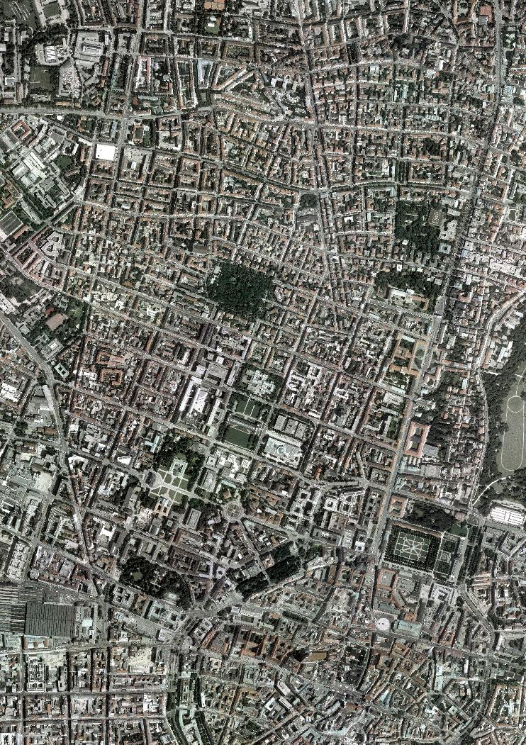
Munich 2D Map View
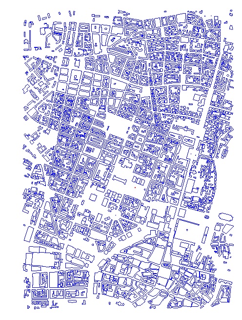
Munich 3D Map View

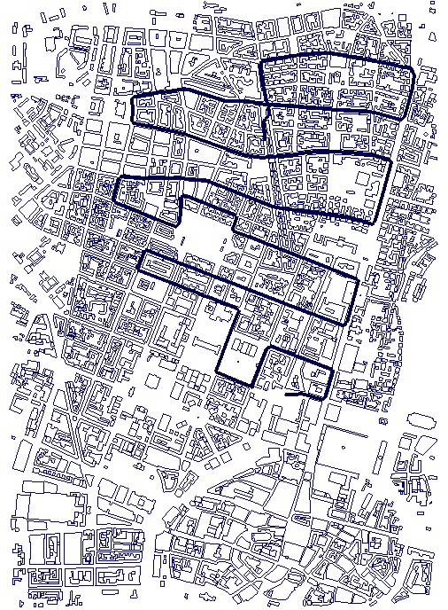
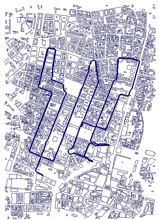
There are 3 measurement campaigns. So you can use one route for material calibration or your propagation model calibration, and the other 2 routes for model validation. The transmitted frequency is 947MHz (GSM). The emitter is located in the centre of the Munich city. The emitter coordinate is:
81.36, -318, 13
where the entire coordinate system has been shifted so that the center of the map is roughly 0, 0. The emitter height is 13 meter above ground where the Receiver is 1.5 meter above ground.
METRO 200
970 points: Download CSV, X, Y, Z and Path Loss
METRO 201
355 points: Download CSV, X, Y, Z and Path Loss
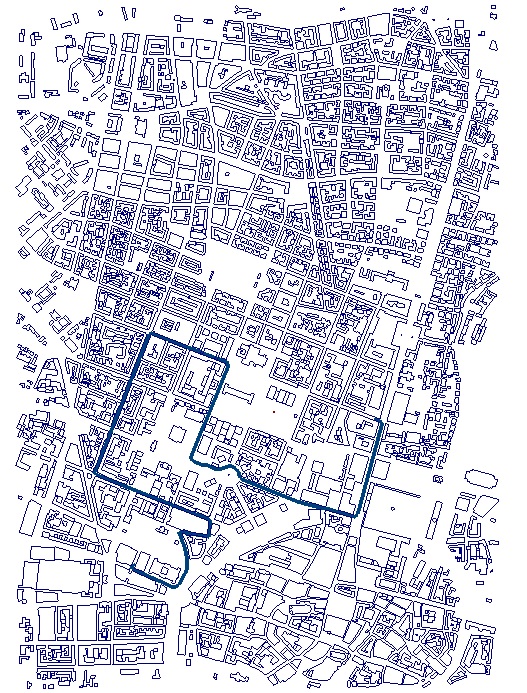
METRO 202
1031 points: Download CSV, X, Y, Z and Path Loss
Next Post: Download Paris Digital Map and Measurements